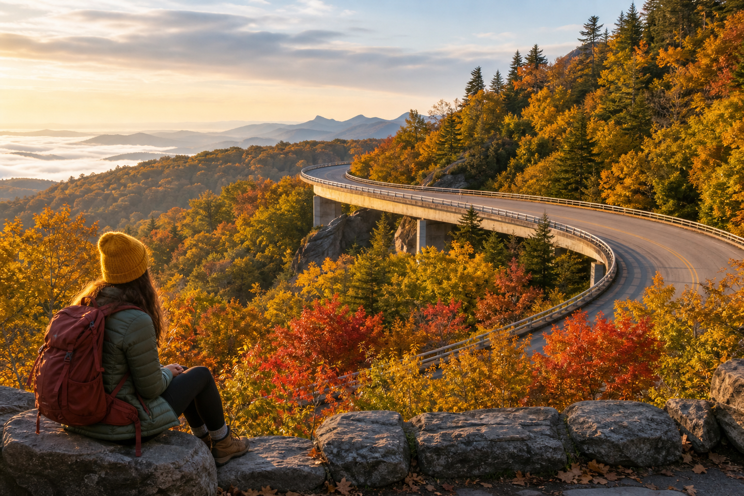
Blue Ridge Parkway fall road trip hero image with mountain scenery and scenic roadway mood
Ready-made plan preview Closure-aware pacing Solo-friendly

Blue Ridge Parkway Solo Reset: 7 Days of Scenic Drives, Waterfalls & Mountain Towns (Asheville → Roanoke)

A solo-friendly, closure-aware fall road trip with scenic drives, waterfalls, short hikes, and cozy mountain-town nights—northbound from Asheville to Roanoke.

Northbound one-way route Daylight-first driving Plan A / Plan B stop system

Why this 7-day Blue Ridge Parkway trip is different

Closure-aware by design (daily NPS check required)

This route treats the Parkway as a string of scenic segments—not a guaranteed-through highway. Your day starts with the “two-check rule” (night before + morning-of) using the official NPS pages.

Solo-friendly pacing (daylight drives + short hikes)

Expect frequent pull-offs, realistic “moving time,” and calm evenings—so you’re not white-knuckling mountain roads after dark.

Drive ~1.5–3.5 hours moving time/day (plus stops)
Hikes “1 short hike max” on drive-heavy days
Evenings Simple: dinner, journal, reset, sleep
Scenic overlook moment on the Blue Ridge Parkway with fall colors and open-sky viewpoint
Built for repeat pull-offs and unhurried viewpoints—this is a reset trip, not a checklist race.
Cozy mountain-town evening vibe along the Asheville to Roanoke route, suggesting calm nights after scenic drives
Cozy town nights and low-stress evenings—so you can actually decompress.

The route (one-way, northbound)

Start: Asheville (AVL) / Finish: Roanoke (ROA)

Set it up as a one-way trip: fly into Asheville, fly out of Roanoke, and reserve a one-way rental car (AVL → ROA).

Recommended base towns (2 + 2 + 1 + 1 nights)

  • Asheville (2 nights)
  • Linville / Boone / Blowing Rock area (2 nights)
  • Galax / Fancy Gap area (1 night)
  • Peaks of Otter / Bedford corridor or Roanoke outskirts (1 night, availability-driven)

Closure-aware rule: Keep your bases even if a Parkway segment closes. Swap the drive segment (parallel highways) and keep the “reset” flow intact.

7-day itinerary (Asheville → Roanoke) — preview

Below is the day-by-day structure and anchors (without giving away the full paid stop matrix, milepost-based options, and closure decision tree).

Day 1 — Arrive Asheville + setup

Easy start + closure ritual

Pick up your car, stock simple Parkway snacks, and keep the evening low-pressure. Start your two-check rule so Day 2/3 decisions are calm.

Preview highlight: a quick-start “first-night checklist” so you wake up ready to drive instead of re-deciding everything.

Day 2 — Pisgah corridor: waterfalls + forest drives

Choose-your-own waterfall day

Pick one signature waterfall/short hike that feels solo-comfortable (daylight, marked trail, not remote), then layer in overlooks and picnic stops based on what’s open.

In the full guide: a shortlist of solo-friendly waterfall/short-walk options (with “verify conditions” notes) plus a Plan B set if your first choice is too crowded or access shifts.

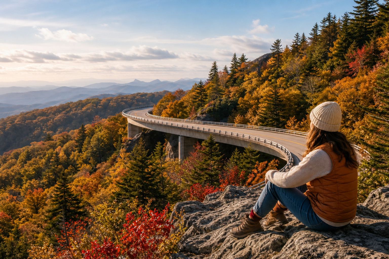
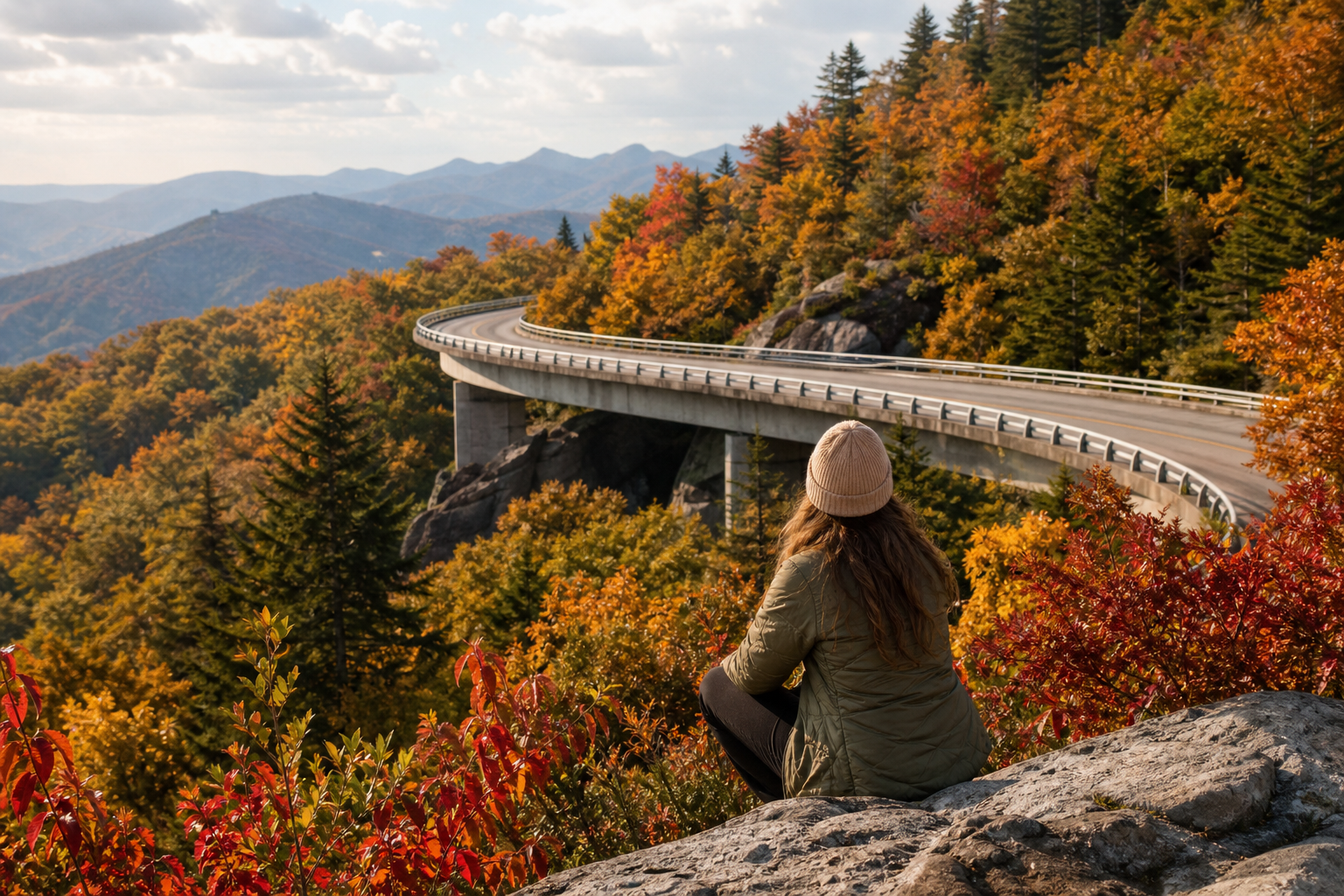
Day 3 — Asheville → Linville/Boone (Linn Cove Viaduct anchor)

Iconic Parkway moment

Go northbound with pull-off freedom pacing and a single “must-feel” anchor: the Linn Cove Viaduct area.

Reference: Linn Cove Viaduct

Day 4 — Grandfather Mountain (ticketed) or free state-park alternative (verify)

Big-ticket option day

If you want the full facilities experience, Grandfather Mountain uses advance reservations/time slots (verify rules before you arrive). Prefer to skip the ticketed attraction? Use their guidance for free hiking access via Grandfather Mountain State Park trailheads (verify trailhead logistics day-of).

Day 5 — Linville/Boone → Galax/Fancy Gap (slow travel day)

Quieter miles

Cross into Virginia sections as open. Keep expectations flexible, and protect an early, easy evening (laundry/journal/early sleep).

In the full guide: Plan A/Plan B segment connectors so you can stay on-vibe even if you’re off the Parkway for stretches.

Day 6 — Galax/Fancy Gap → Peaks of Otter corridor

Classic Virginia vistas

Early overlooks for the best light, then a choose-your-energy walk in the Peaks of Otter area (easy trail option if weather cooperates).

In the full guide: bad-weather swaps + a “no-stress afternoon” plan that still feels like a win.

Day 7 — Finish to Roanoke + depart

Final check + calm finish

Do the morning-of closure check again, then roll into Roanoke for a simple finish: quick stroll, lunch, return the car, fly out.
Non-negotiable: check NPS closures before committing to your final segment.

Closure-proof “Plan B” swaps (no-stress alternatives)

If a Parkway segment is closed: keep bases, use parallel highways

Don’t chase a perfect line. Keep your overnights, connect towns via parallel routes, and spend your energy on viewpoints, short walks, and cozy evenings.

Bad-weather day: Asheville indoor “splurge” option

Use a reservation-based day (like Biltmore) when rain/fog makes overlooks/hikes less fun. Timed entry/advance reservation applies; verify directly.

Camping swap module (verify seasonal operations per campground)

Prefer a more outdoorsy reset? Swap in campgrounds where available. Reservations are commonly available up to six months in advance; typical season is May–October (conditions permitting). Verify your specific campground and dates.

FAQ

When is peak color on the Blue Ridge Parkway?

Color shifts by elevation and weather. A common planning window is late September through late October, with higher elevations changing earlier. Use current-condition resources and keep your days flexible.

Source: blueridgeparkway.org fall color guidance

Is this itinerary safe for solo travelers?

It’s designed for solo-friendly pacing: daylight-first driving, short hikes, and calm evenings. Standard solo travel habits still apply (finish hikes before dusk, stay on marked trails, and plan for spotty service with offline maps).

Can I do it in reverse (Roanoke → Asheville)?

Yes. The guide is structured for northbound pacing and the listed base towns, but you can reverse it to match your flights and lodging—still using the same closure-aware checks.

What if I don’t get peak foliage?

This plan doesn’t promise peak. It’s built so the trip still feels worth it: scenic segments, waterfalls, viewpoints, and mountain-town nights—plus a Plan B system when conditions shift.

Sources referenced (verify before you go)

Road conditions can change quickly. Always verify current status and rules directly with official sources for your travel dates.

Ready to adventure?

Get this ready-made Cracken Travel plan and spend less time planning.